Bartlett Brook Town Forest
      | |
Bartlett Brook Town Forest(Referred to as Schwaumberg Town Forest on some maps) | 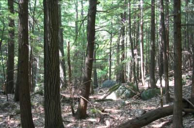 |
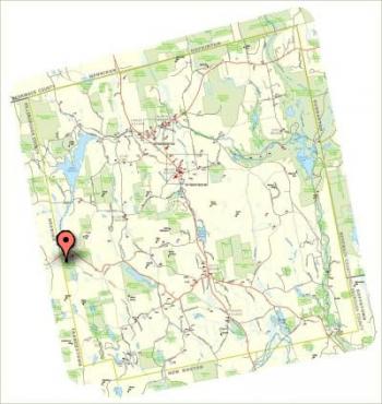
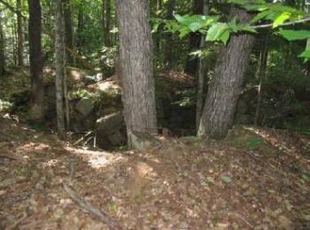
Bartlett Brook Town ForestBartlett Brook Forest is a contiguous tract on 138.7 acres (113.5 forested) and is managed by the Weare Conservation Commission as a working Town Forest. The property is located in the west central region of Weare, with frontage along the south side of Route 149, the Deering/Weare town line, and Sawyer Road. The terrain is variable, ranging from inoperable cliff, steep rocky hillsides, to moderate slopes, flats, and wetland areas (both open water and forested). The open water wetland system is found in the southeast corner of the Forest. This open water wetland has some forested wetlands and wet meadow areas contiguous with it. There are some smaller forested wetlands elsewhere in the Forest, another open wet meadow, and vernal pools. Inoperable cliff (l) and talus/boulders (r). A stone cellar hole, and other stone framework associated with a farm can be found adjacent to Sawyer Road, south of the intersection with Toby Hill Road. It once supported a large house, and is still in decent condition. Large trees are now growing within its perimeter, providing some information on how long ago the house disappeared. |
|