Poor Farm Town Forest
   | |
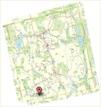
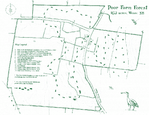
Poor Farm Town ForestGPS Coordinates: N 43 1.331, W 71 44.817 Acres: 157.8 | 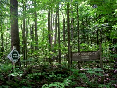 |
Poor Farm Town ForestThe Poor Farm Forest is situated on Poor Farm Road and Balch Road in the town of Weare. The Town Poor Farm was established here in 1838 and was successfully run until its abandonment in 1917. Since farming ended here, the land has become reforested and is now managed as part of the Weare Town Forest. In some areas that remained open longer, pine plantations were established during the Great Depression.
BACKGROUND |
|