Breed Brook
   | |
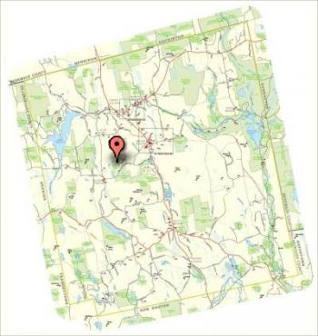
Breed BrookGPS Coordinates: N 43 5.291, W 71 44.536 Acres: 98.4 |  |
Breed Brook Town ForestBreed Brook meets Weare's open space conservation goals and the goals of the Cluster Housing Ordinance objectives stated in the Master Plan of the Town of Weare which reads: "To protect areas of unusual natural, scenic, or historic value deserving protection from inappropriate development", and with the NH RSA 79-A which states: "It is hereby declared to be in the public interest to encourage the preservation of open space, thus providing a healthful and attractive outdoor environment for work and recreation of the state's citizens, maintaining the character of the state's landscape, and conserving the land, water, forest, and wildlife resources..." Breed Brook Town Forest was conserved in 2004 as part of the subdivision plan of Holly Hill Farm, Tax Map 405 Lot 73: Flanders Memorial Rd. Weare, NH. The conserved parcel encompasses Breed Brook, a forested stream habitat utilized as an active wildlife travel corridor connecting significant additional protected open spaces. This parcel is home to beaver ponds, other wetlands and water resource areas utilized by aquatic birds, amphibians and aquatic furbearers. In addition it is a deer wintering area. |
|


